| |
| Details |
 |
Cartography |
 |
Delivery |
 |
More Infos |
 |
Reviews |
 |
|
Brand: National Geographic ( Ref: 143482 )
Illuminated globe: yes (electric cable inside the globe)
Diameter sphere: 34 cm (14 in.)
Overall height: 43 cm (17 in.)
Base in: metal (steel)
Meridian in: fibreglass (silver colour)
Sphere in: Plexiglas® Heavy Duty


|
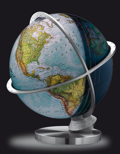
The "Planet Earth" globe makes it possible to visualize a multitude of astronomical concepts;
-elliptic orbit around the sun,
-earth rotation on its axis,
-duration of the day,
-solstitial points ...
The lit globe illustrates the concept of day, the 3 zones of twilight, ...
A luminous point indicates the sub-solar zone, i.e. the place where the sun does not create any shade at midday.
All these concepts can be observed for a given day-hour-place by an adjustment of the dial at the foot of the globe.
The globe is shipped complete with its polished steel base and instruction manual.
|
This world globe exists in: english
 
|
| |

  More Images More Images

|
 |
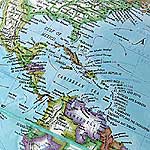
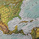
The National-Geographic map.
The political * map (switched off) employs the same representation codes as the world famous National Geographic maps, i.e. all the countries in one single colour contrasting with coloured borders, bills of fount in 3 colours, very detailed information (thousands of city names, depths...).
The ground vegetation * map (switched on) shows the visible surface of the earth with, in brown, the rock-mountains, in various greens the conifers forests, the tropical forests, the cultivated zones, in yellow and ochre the savannas, the steppes, the deserts and in white the polar areas or the glaciers.
|
| |
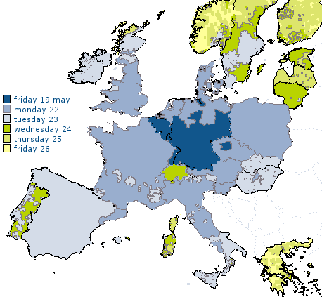
Delivery date of the The Planet Earth Globe *
|
| |

|

|
| * indicative date for an order validated today.
|
| |
Guarantees for the The Planet Earth Globe
   Satisfaction Guarantee Satisfaction Guarantee
  Direct Guarantee: 1 year Direct Guarantee: 1 year
  
|
|
 
|
|
 
 
|
 
Since its creation on January 13, 1988 in Washingtopn D.C., National Geographic is the largest non-profit organization dedicated to the diffusion of the geographical knowledge. It subsidized 7000 expeditions and research projects.
Thousands of very detailed maps, with the NGS specific typographies and mode of representations were created following the first map published in 1889.
The National Geographic globes and maps integrate all this experience as well as typical NGS representations.
|
|
|
|
|
|
|


